Whitewash Reserve Nesting Shag Colony - Drone Capture Test

Select the images or select the camera icon on the map to open the grid image which has selectable hi-res images.

This is just a demo of the hi-res grid image capture completed with the drone, the final look and navigation needs to be confirmed as this page is coded in HTML with custom code used display everything, so automated solution woul dbe preferred

I've assigned a letter to the main images and the grid photos are numbered so it should be easy to codify the cliff areas.

Automated waypoints have now been used to ensure photos are taken at the same coordinates and altitue so identical photo location/directions are taken.

If you have any suggestions or would like drone support for your project please email me at daniel@proformgroup.co.nz or call on 021 0297 8009

Sample Image Map Rectangle Area
Grid Photo A
Sample Image Map Rectangle Area
Grid Photo B
Sample Image Map Rectangle Area
Grid Photo C
Sample Image Map Rectangle Area
Grid Photo D
Sample Image Map Rectangle Area
Grid Photo E
Sample Image Map Rectangle Area
Grid Photo F
Sample Image Map Rectangle Area
Grid Photo G
Sample Image Map Rectangle Area
Grid Photo H
Sample Image Map Rectangle Area
Grid Photo I
Sample Image Map Rectangle Area
Grid Photo J
Sample Image Map Rectangle Area
Grid Photo K
Sample Image Map Rectangle Area
Grid Photo L
Sample Image Map Rectangle Area
Grid Photo M
Sample Image Map Rectangle Area
Grid Photo N
Sample Image Map Rectangle Area
Grid Photo O
Sample Image Map Rectangle Area
Grid Photo P
Sample Image Map Rectangle Area
Grid Photo Q
Sample Image Map Rectangle Area
Grid Photo R
Sample Image Map Rectangle Area
Grid Photo S
Sample Image Map Rectangle Area
Grid Photo T
Sample Image Map Rectangle Area
Grid Photo U
Sample Image Map Rectangle Area
Grid Photo V
Sample Image Map Circle Area Circle Area Circle Area Circle Area Circle Area Circle Area Circle Area Circle Area Circle Area Circle Area Circle Area Circle Area Circle Area Circle Area Circle Area Circle Area Circle Area Circle Area Circle Area Circle Area Circle Area Circle Area
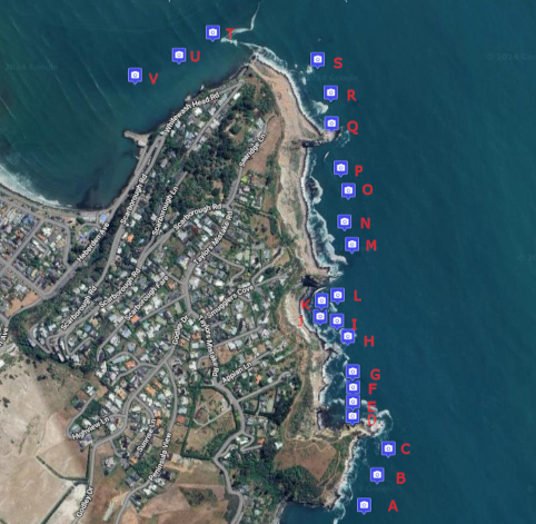
Select the camera icon/s to the image/s
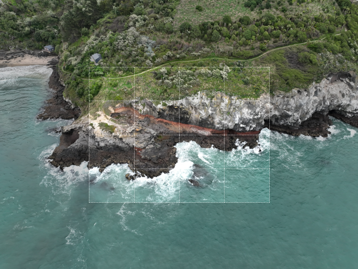
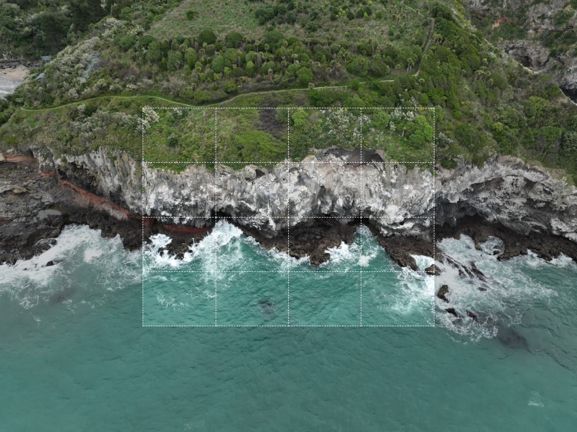
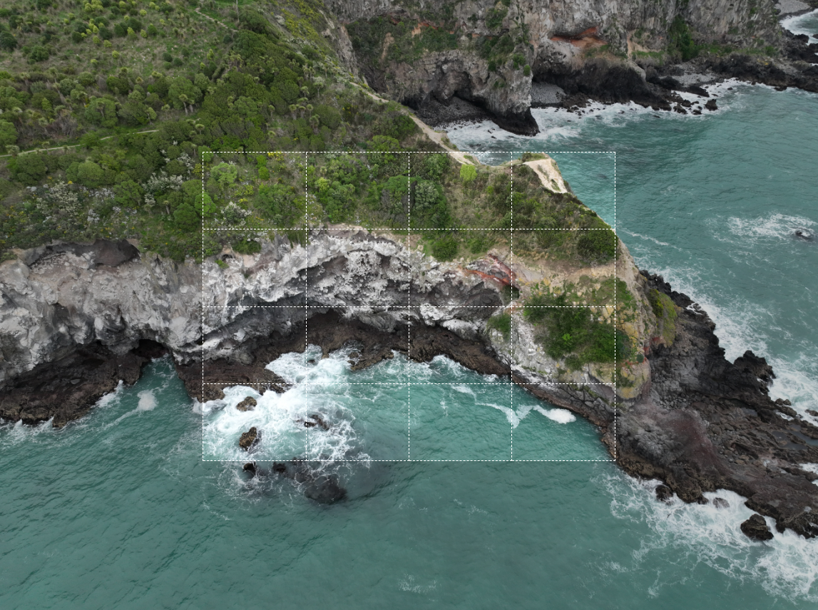
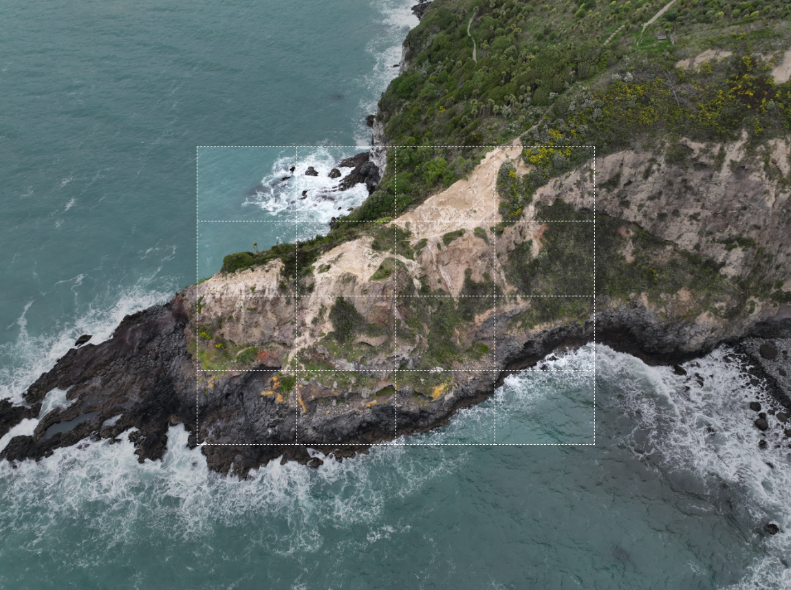
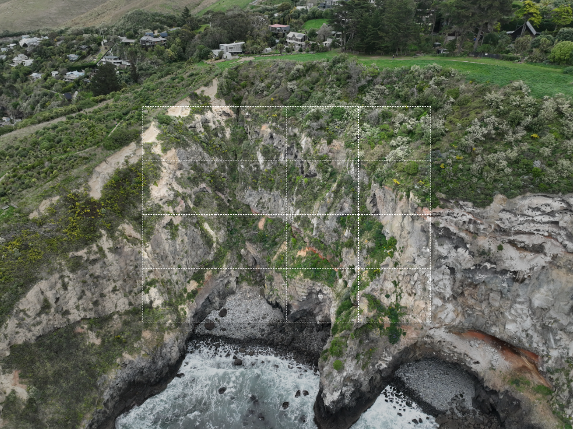
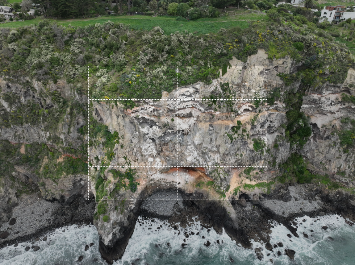
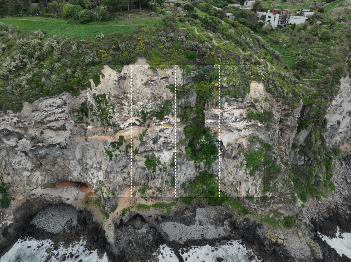
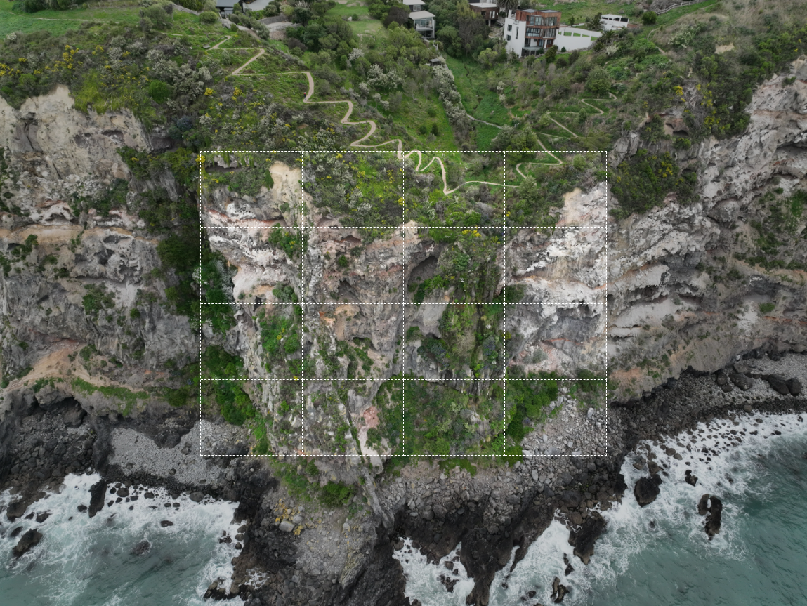
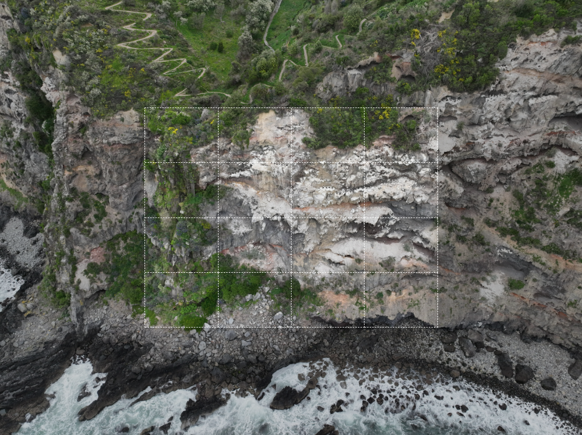
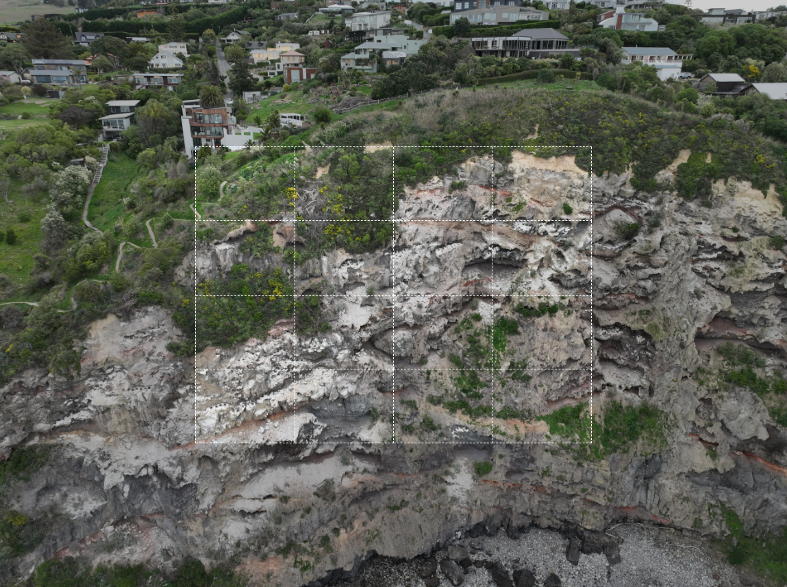
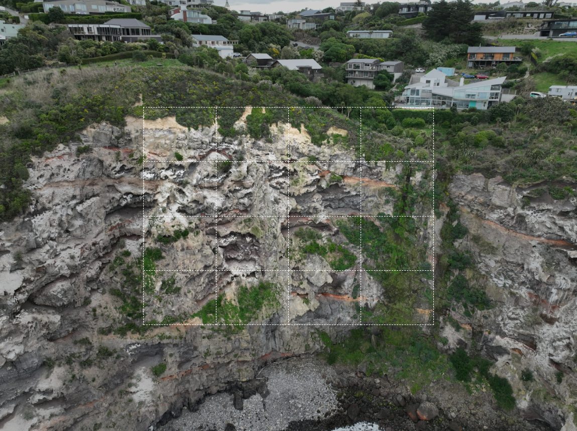
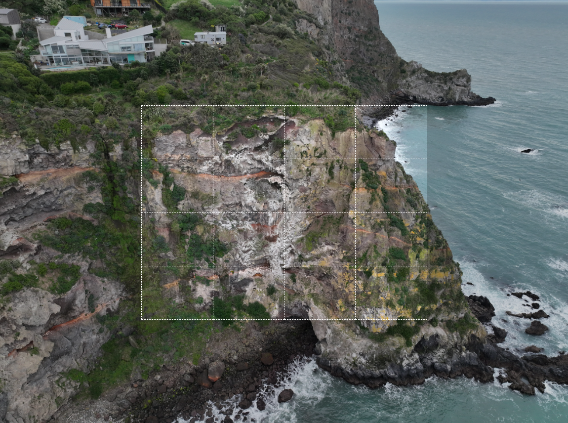
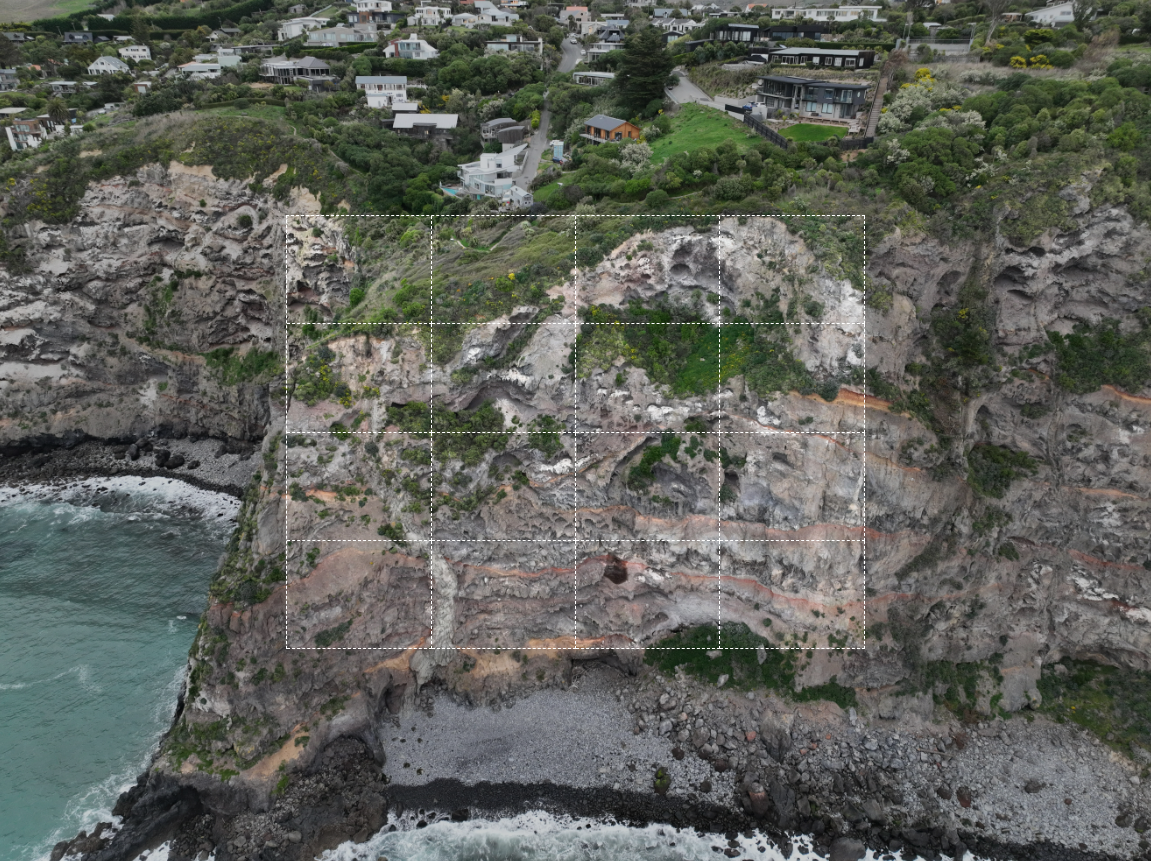
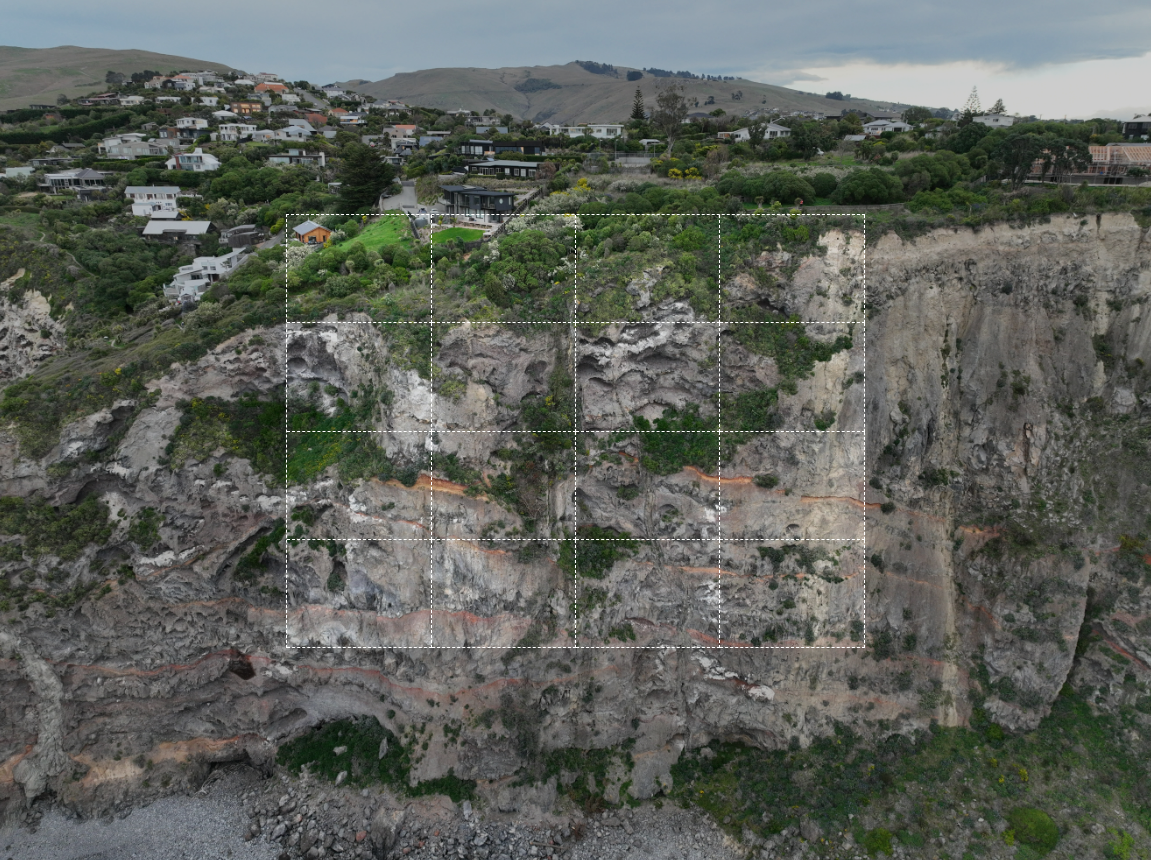
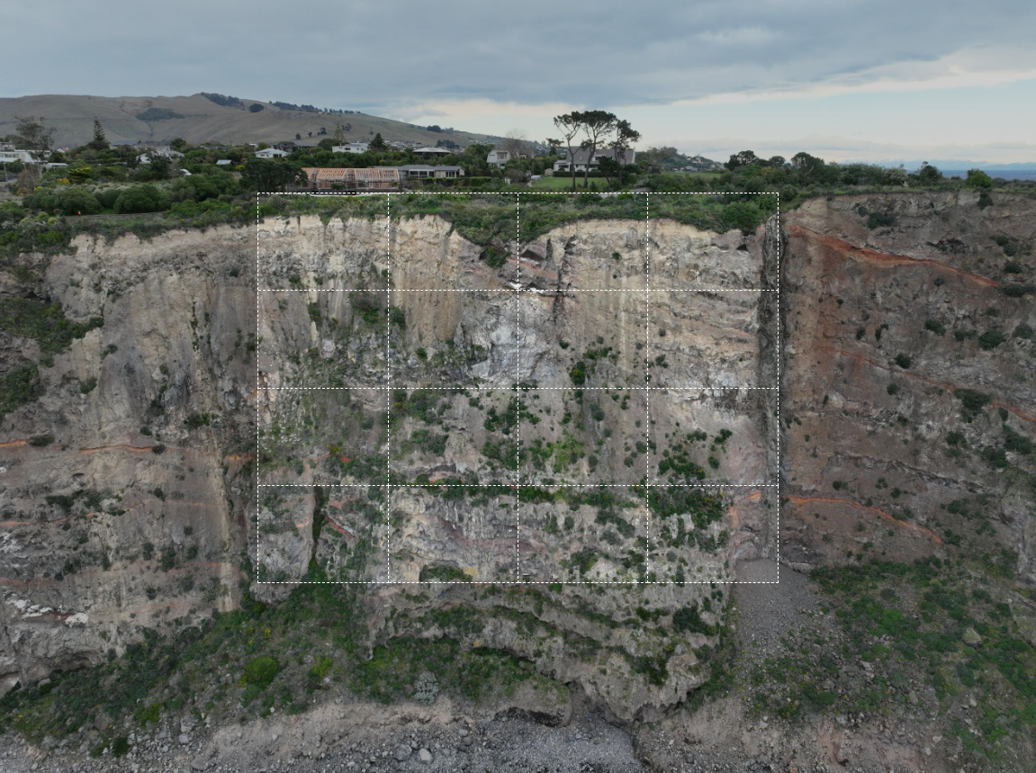
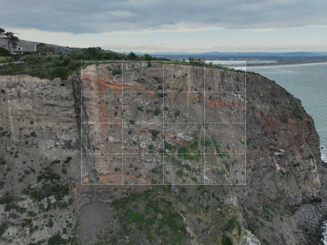
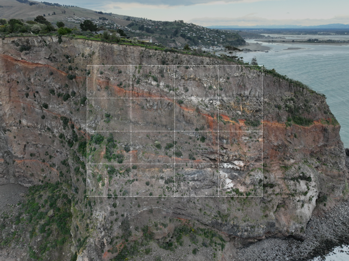
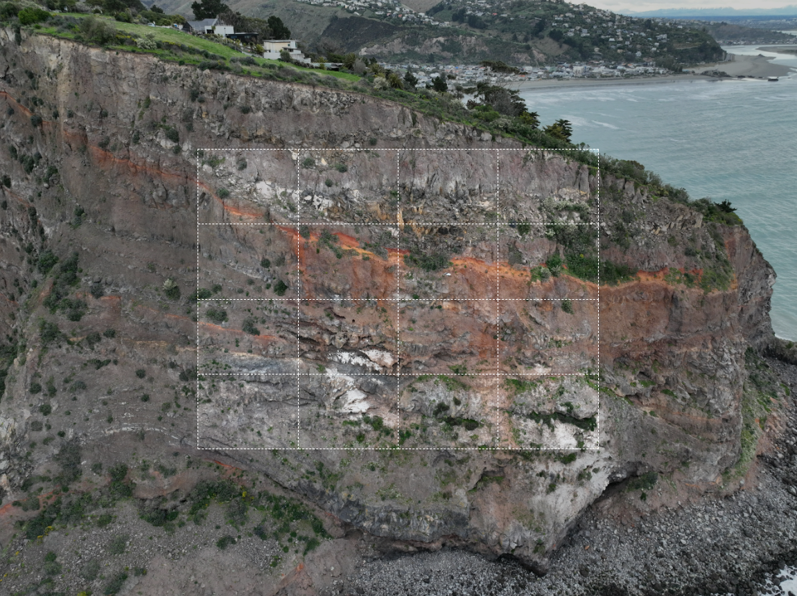
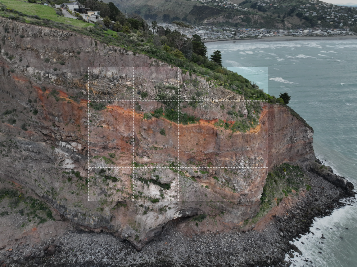
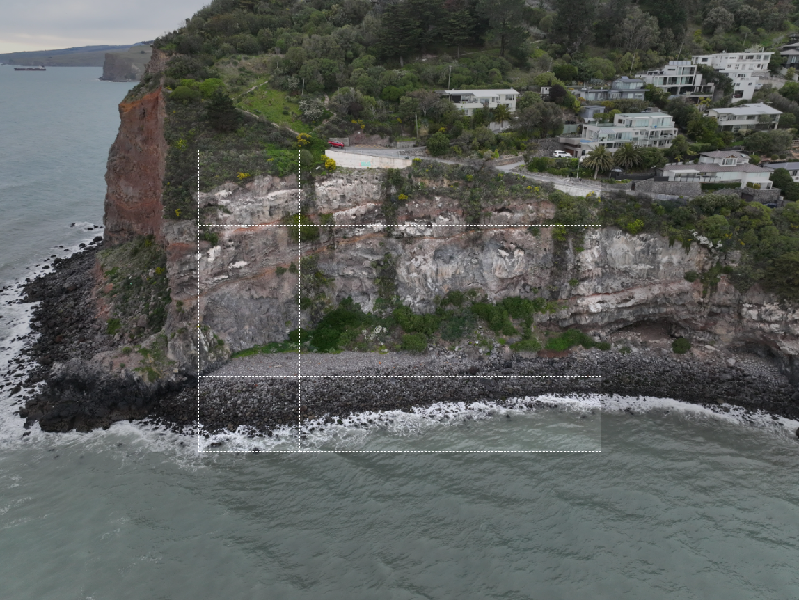
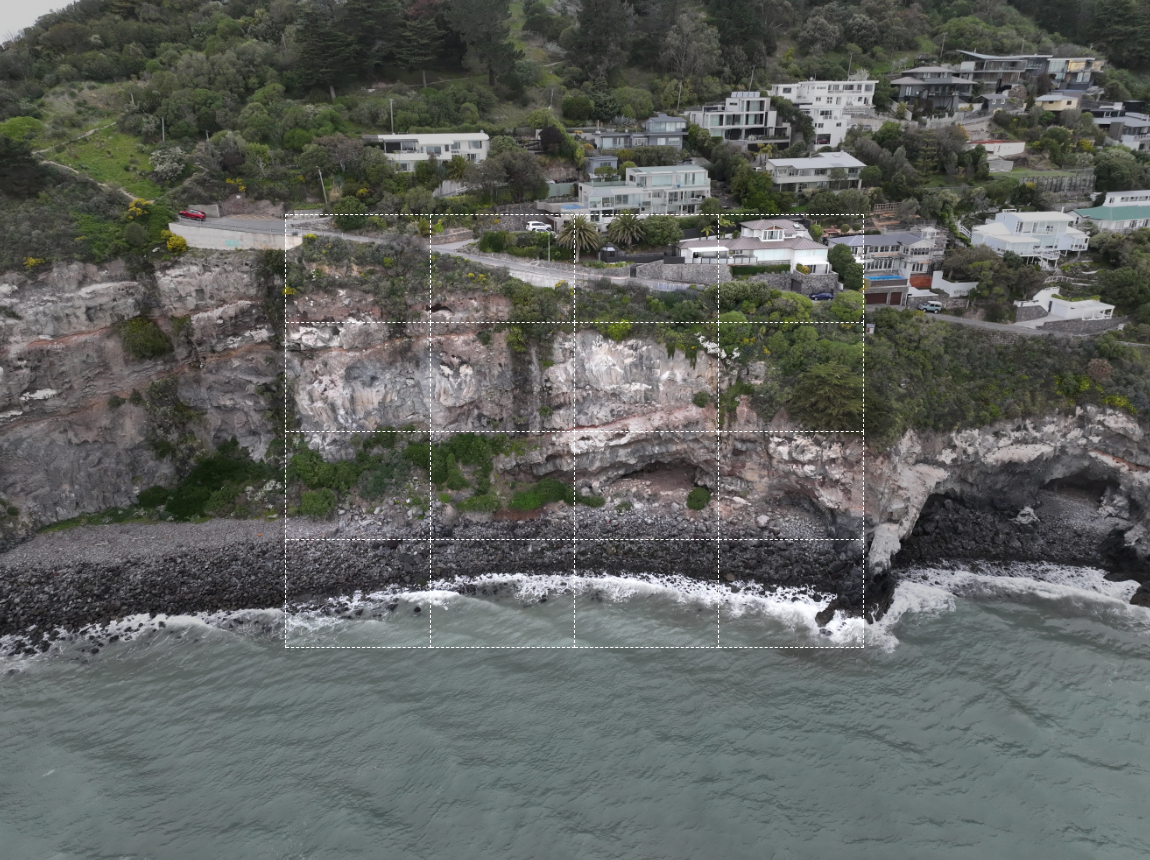
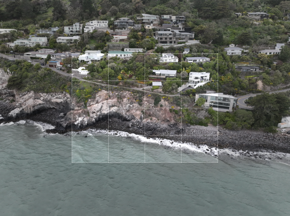
 Sample Image Map Rectangle Area